FILE PATHEXPLORE DETROIT/DETROIT WORKS
DETROIT WORKS · FACTORY GEOGRAPHY

INDUSTRY & NEIGHBORHOODS.

Plants influenced where housing expanded, where commercial corridors thrived, how workers commuted, and how neighborhoods experienced noise, traffic, smoke, employment opportunity, and industrial land use.

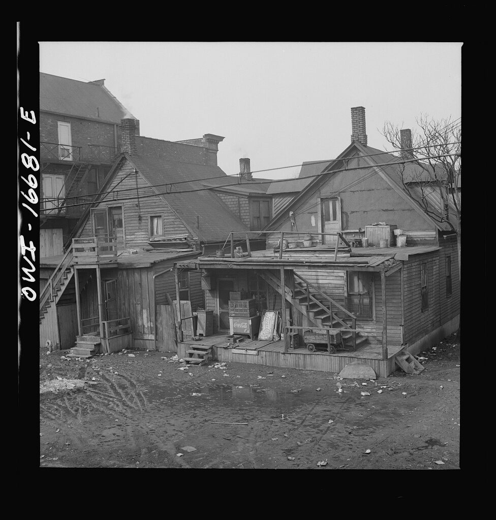
Detroit, Michigan. Typical Negro neighborhood
REAL DETROIT SOURCE · Detroit Black neighborhood, February 1942. The Library of Congress record does not identify the exact neighborhood.
Source: Arthur S. Siegel / source record · Public domain — FSA/OWI
FACTORY EDGE

Where industry met the block.

Home and heavy industry often sat close together.

Detroit’s industrial growth placed factories, worker housing, commercial strips and transportation corridors within the same urban landscape. A plant could shape the rhythm of nearby streets even when the people living there worked somewhere else.

  • Housing grew near major employment centers and transit routes
  • Restaurants, taverns and stores served workers before and after shifts
  • Streetcars, buses and automobiles widened the practical commuting radius
  • Industrial expansion could also reshape or displace established neighborhoods

READ THE BLOCK, NOT JUST THE PLANT

Maps, directories and photographs help show how industrial land use met residential Detroit. That relationship matters to the history of work, transportation, policing and neighborhood change.

← DETROIT WORKSDETROIT IN MOTIONDETROIT NEIGHBORHOODS

CONTINUE IN THIS CATEGORY