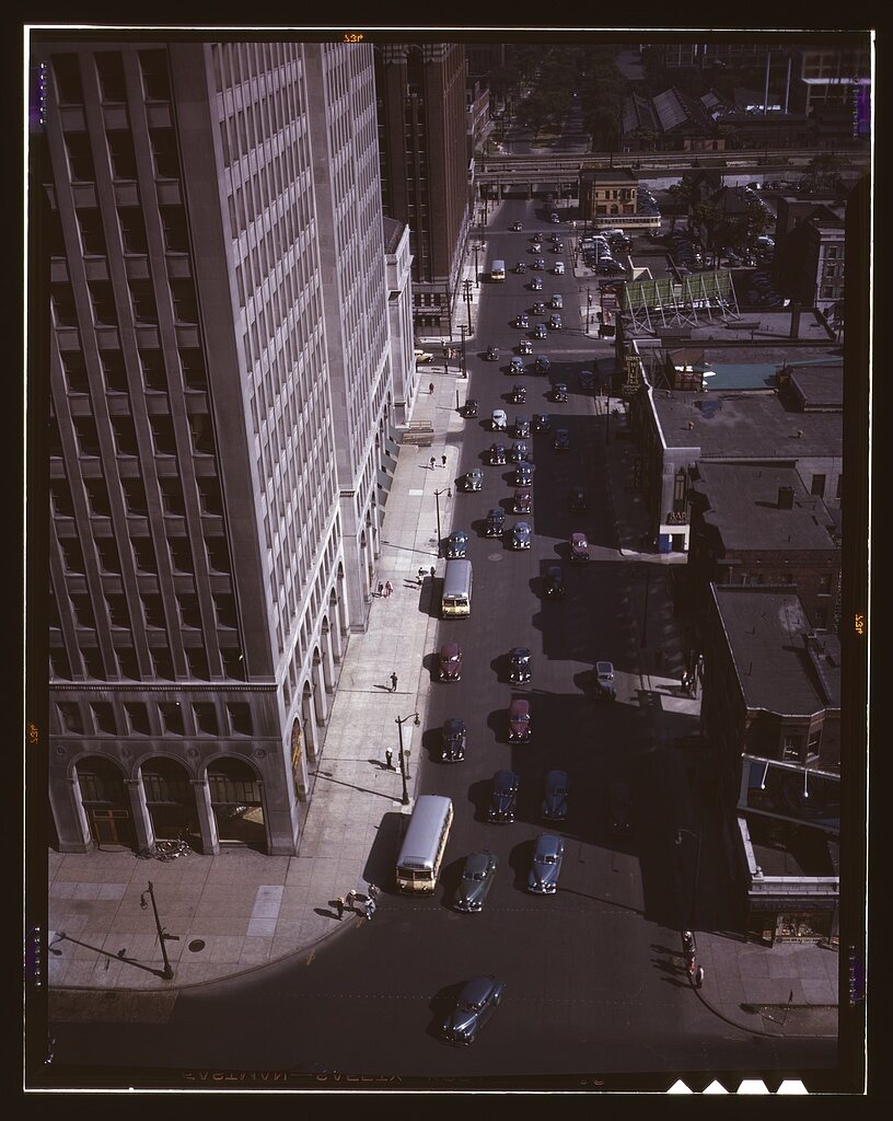
Source: Arthur S. Siegel / source record · Public domain — FSA/OWI
To understand mid-century Detroit, you have to understand how people moved. Streetcars and buses carried workers and shoppers. Automobiles reshaped distance. Railroads fed factories and terminals. Bridges, tunnels, docks, and roads tied Detroit to Canada and the wider industrial region.
This room studies transportation as city history: not simply vehicles, but the routes that connected homes, factories, police districts, downtown, nightlife, courts, neighborhoods, and crime.
This is intentionally a navigation diagram rather than a historical map. Verified period maps and route-specific evidence can be layered in later without pretending a stylized graphic is an archival source.
Streetcars, buses, transfer points, commercial corridors, factory commuting, and the relationship between transit routes and neighborhood life.
BOARD THE ROUTE →Cars changed the scale of Detroit: commuting, shopping, policing, escape routes, traffic, parking, road design, and suburban reach.
OPEN ROAD FILE →Passenger terminals, freight movement, industrial sidings, rail corridors, workers, goods, and the city's connection to national networks.
OPEN RAIL FILE →Detroit's international boundary shaped everyday travel, commerce, customs, policing, and the geography of movement between Michigan and Ontario.
CROSS THE BORDER →Freighters, docks, ferries, industrial waterfronts, crossings, and the Detroit River as both transportation corridor and border.
OPEN RIVER ROUTE →How high-speed road building altered travel time, neighborhood connections, commercial patterns, and the physical form of Detroit.
OPEN CHANGE FILE →Movement from foot patrol and call-box communication to automobile patrol, bureau travel, station geography, and investigative response.
OPEN POLICE ROUTE →Factories, shifts, workers, roads, transit, rail, and the transportation pressure created by large-scale wartime production.
OPEN WAR ROUTE →How routes, mobility, escape time, commercial concentration, border access, automobiles, and street design can matter when studying historical crime.
OPEN CRIME LENS →Transportation history can be explored deeply: routes, vehicles, infrastructure, maps, commuting, traffic, bridges, rail, transit, police movement, and urban change. When a route or location overlaps a Book One or Book Two investigation, the website explains the Detroit context without reconstructing the complete case.
CONTINUE IN THIS CATEGORY