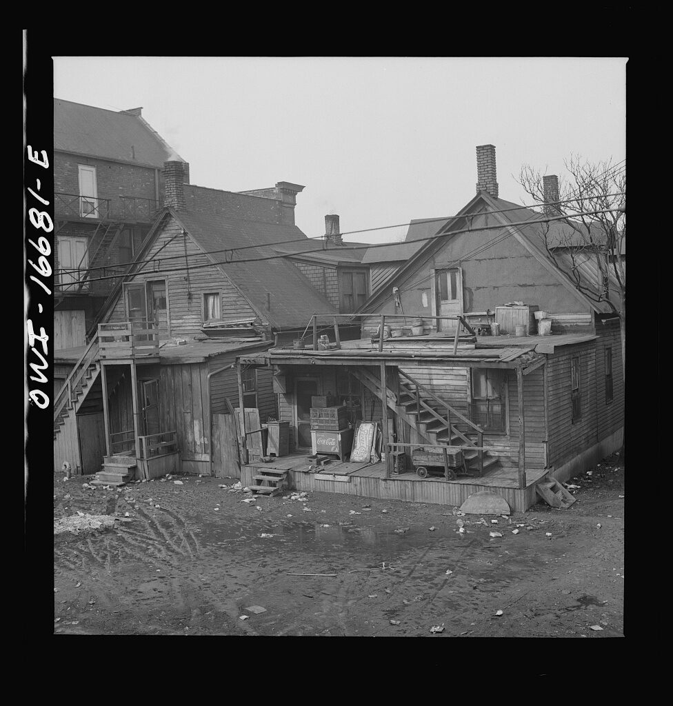
Source: Arthur S. Siegel / source record · Public domain — FSA/OWI
Detroit was never one uniform city. Its neighborhoods grew around factories, streetcar lines, churches, schools, commercial strips, immigration, migration, housing, race, class, rivers, railroads, and the constantly changing boundaries of work and home.
This section studies Detroit at street level—how neighborhoods looked, who lived and worked there, how people moved through them, where businesses clustered, how police districts overlapped them, and how the built environment shaped everyday life and crime.
McGraw, Tireman, industrial corridors, residential blocks, commercial strips, precinct geography, and the neighborhoods surrounding Ralph Palmer's earliest police years.
OPEN WEST SIDE →Industry, immigrant communities, river access, rail lines, factories, churches, housing, and the international-border geography of Southwest Detroit.
OPEN SOUTHWEST →Courts, police headquarters, newspaper offices, hotels, theaters, government buildings, commercial corridors, and transit.
OPEN DOWNTOWN →Residential districts, industrial zones, commercial streets, river connections, and the changing city east of downtown.
OPEN EAST SIDE →A major Black residential, business, nightlife, and cultural district whose history is essential to understanding twentieth-century Detroit and urban redevelopment.
OPEN HISTORIC DISTRICT →One of Detroit's oldest neighborhoods, shaped by immigration, industry, housing, rail connections, and proximity to downtown.
OPEN CORKTOWN →The neighborhood environment connected to Ralph Palmer's early life: families, housing, churches, factories, schools, streets, and the Detroit that existed before the badge.
OPEN DIX AVENUE →Population movement, expressways, redevelopment, industrial expansion and contraction, housing change, and how Detroit's neighborhood map shifted across the mid-century period.
OPEN CHANGE FILE →How street layout, land use, nightlife, transportation, commercial concentration, guardianship, and opportunity can help explain historical crime patterns without reducing a neighborhood to crime alone.
OPEN CRIME GEOGRAPHY →The neighborhood framework covers street maps, architecture, businesses, churches, schools, transit, factories, demographic change, newspapers, police districts, and surviving photographs. Detroit gets the deep treatment. Book-specific case material remains selective and deliberately incomplete.
DETROIT CONTEXT PATH
CONTINUE IN THIS CATEGORY