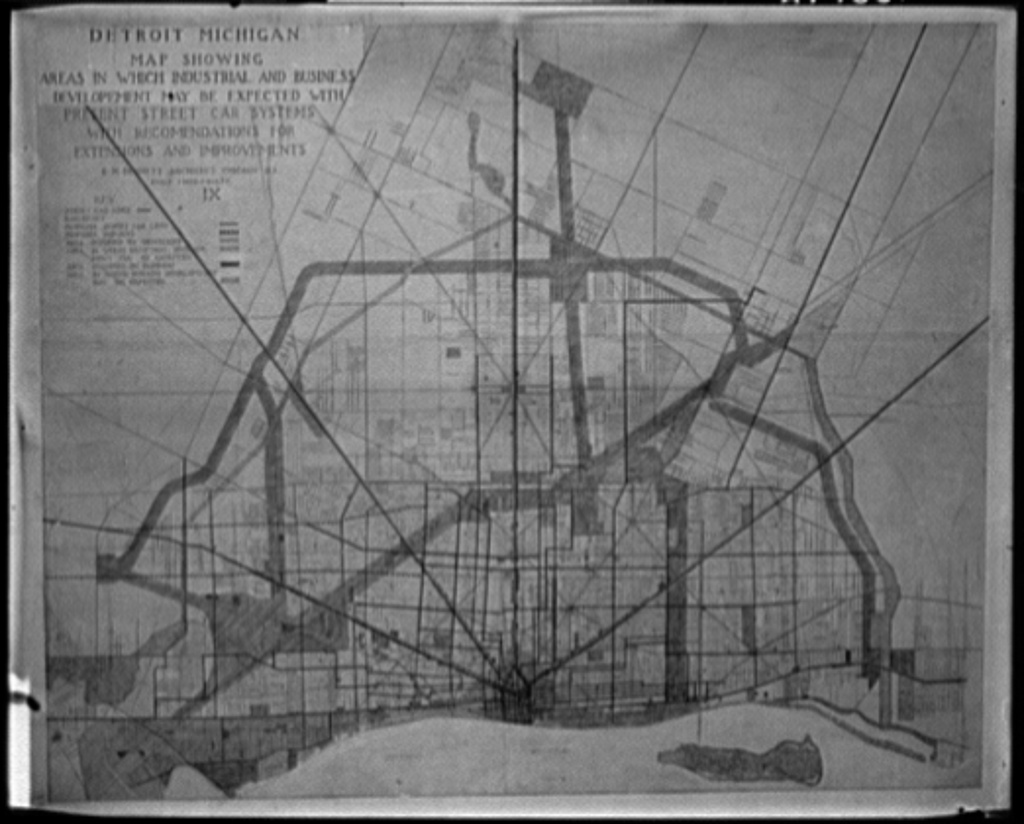
Period maps and verified overlays belong here so visitors can compare Detroit's changing streets, precincts, neighborhoods, and industrial geography.
This map records the transportation routes, business districts, and industrial development that shaped Detroit at the opening of the automobile era.
Follow the blocks, corridors, districts, and communities that gave Detroit its local shape.
OPEN THE STREETS →Trace the police buildings and jurisdictional geography connected to the city’s history.
OPEN POLICE PLACES →Explore the plants, production districts, and routes that powered Detroit’s working life.
OPEN INDUSTRIAL DETROIT →See how transit lines, railroads, and major routes connected the city and its industries.
OPEN TRANSPORTATION →CONTINUE IN THIS CATEGORY