DETROIT GEOGRAPHY · INTERNATIONAL BORDER
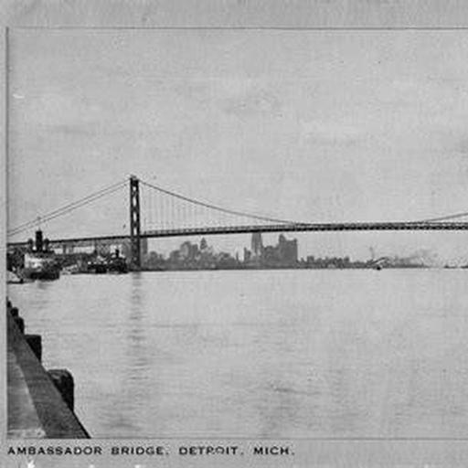
DETROIT RIVERFRONT.
The Detroit River was simultaneously a boundary, industrial artery, transportation route, workplace, and—in certain eras—a smuggling corridor.
ROOM FRAMEWORK
Reading the border edge.
River crossings and border geography
Prohibition-era movement
Industry and docks
Police and customs presence
Winter river conditions and changing transportation
SOURCE STANDARD
Riverfront places and routes stay tied to identifiable maps, photographs, addresses, or records.
CONTINUE IN THIS CATEGORY