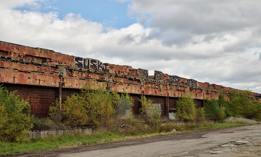
Source: Detroit Publishing Co. / source record · No known restrictions on publication
Industrial geography shaped employment, transportation, neighborhoods, wartime production, and Ralph Palmer's own pre-police career.
Plant, rail, road, and neighborhood locations are included only when the geography can be verified.
CONTINUE IN THIS CATEGORY