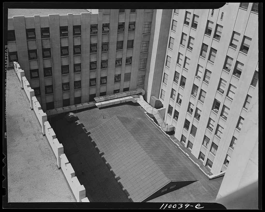
Source: Arthur S. Siegel / source record · Public domain — FSA/OWI
History happened inside real buildings and along real streets. Police stations, factories, courtrooms, newspaper offices, hotels, taverns, storefronts, houses, bridges, alleys, and transportation corridors shaped how Detroit worked—and how its stories unfolded.
This section studies the physical city as historical evidence.
How police stations, headquarters, call-box networks, bureau offices, and patrol geography placed law enforcement physically inside the city.
OPEN DOSSIER →Factories were workplaces, landmarks, transportation magnets, and organizing forces in Detroit neighborhoods and wartime production.
OPEN DOSSIER →Courtrooms, government buildings, police facilities, and public institutions created the physical machinery of Detroit law and civic life.
OPEN DOSSIER →The press occupied buildings of its own—newsrooms, printing plants, loading areas, and downtown locations that connected reporting to the city outside.
OPEN DOSSIER →Architecture affected visibility, access, escape routes, back rooms, alley connections, commercial strips, and the social geography of nightlife.
OPEN DOSSIER →Housing types, storefronts, churches, schools, corner businesses, alleys, lots, and block patterns helped define everyday Detroit.
OPEN DOSSIER →Streetcars, arterial roads, bridges, rail corridors, sidewalks, alleys, and river crossings determined how Detroit moved.
OPEN DOSSIER →Demolition, redevelopment, road building, abandonment, reuse, and neighborhood change altered the physical evidence left behind.
OPEN DOSSIER →A framework for pairing verified historical images and maps with present-day photographs of the same Detroit locations.
OPEN THEN / NOW →A police station, factory, neighborhood block, courthouse, tavern district, or street can be documented in depth. If the same place appears in Book One or Book Two, the website may explain the architecture and geography while withholding the investigation, discoveries, and outcome.
CONTINUE IN THIS CATEGORY